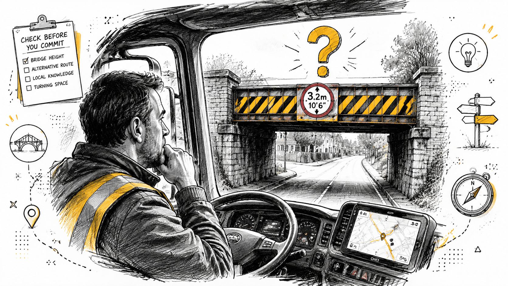
You’re on a route you don’t know well. The delivery slot is tight. The sat nav says carry on. Then a bridge appears ahead, and you can’t tell from the cab whether you’ve got enough room. That moment catches out good drivers, not just careless ones.
A proper low bridges map helps, but a map on its own isn’t enough. Static tools miss unsigned structures, changed access roads, awkward industrial estate entrances, and the sort of local hazards that only become obvious when you’re already committed. Professional HGV driving in the UK means treating bridge risk as a live safety issue, not a box ticked at the start of the shift.
Why Every HGV Driver Needs a Low Bridge Strategy
Bridge strikes rarely start with one dramatic mistake. They usually start with a chain of smaller ones. A driver trusts ordinary car navigation. A route gets changed late. A vehicle leaves slightly taller when loaded. An industrial access road looks usable until the bridge comes into view.
That’s why every professional driver needs more than a low bridges map. You need a repeatable strategy that works when the route is unfamiliar, when signage is poor, and when the pressure is on.
Why standard navigation fails
Consumer sat nav tools are built for cars. They don’t think like an HGV driver. They won’t reliably account for vehicle height, site access restrictions, or low bridge risk in the way a commercial route plan must.
A driver who follows car navigation into a restricted route may still carry the responsibility when things go wrong. That’s the hard truth. If your vehicle doesn’t fit, “the sat nav sent me this way” won’t protect your licence, your operator, or the bridge.
Practical rule: If a route matters enough to drive in an HGV, it matters enough to check with HGV-specific tools and a second source.
What a real strategy looks like
A workable system has three parts:
Know your actual travelling height: Not the brochure height. Not yesterday’s assumption. The height as the vehicle is loaded for that job.
Plan before moving: Use HGV-specific route planning, then sense-check the route against local access points and final approach roads.
Treat doubt as a stop signal: If clearance looks marginal, stop where safe and reassess. Guesswork is what causes strikes.
A low bridge strategy also sits inside wider accident prevention practice. Drivers who already follow disciplined checks, hazard scanning, and route review habits are far less likely to get trapped by a bad approach road. The same thinking appears in this guide to HGV accident prevention routines for safer daily driving.
The professional standard
Good drivers don’t just move loads. They manage risk early. They expect the route to contain something the first plan missed, and they leave themselves room to deal with it safely.
That mindset matters most on new runs, agency work, multi-drop work, and industrial deliveries where the final mile is often the weakest part of the route plan.
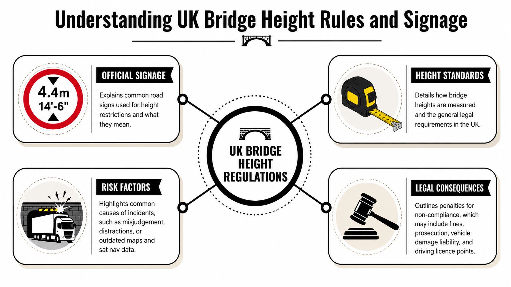
Understanding UK Bridge Height Rules and Signage
Most drivers know low bridges are a risk. Fewer understand why some dangerous bridges are clearly signed while others aren’t signed at all. That gap in knowledge causes bad decisions.
In Great Britain, the design-standard headroom for new trunk roads and motorways is 5.03 metres (16 feet 6 inches), but many older local bridges were built long before that standard and don’t meet it, as explained in Don-Bur’s guidance on bridge height restrictions for HGVs. That’s why route planning can’t be based on motorway assumptions once you leave the main network.
The rule many drivers miss
A key point often gets overlooked. Bridges at or above 16ft 2in (4.93m) are legally unsigned, while lower bridges must be signed up to their height. That means the absence of a warning sign does not automatically mean your vehicle will clear.
That misunderstanding has real consequences. A source discussing this signage gap states that 22% of unreported low bridge strikes in 2025 involved HGVs over 4.8m, and it also notes that existing maps such as Trucker Guide and the nidirect Northern Ireland map show locations but omit these height-threshold rules. See the discussion of the UK bridge signing threshold and the “no sign means safe” misconception.
No sign only tells you one thing. It tells you the bridge may fall above the signing threshold. It does not tell you your loaded vehicle will fit.
What that means on the road
Drivers become trapped on local work. You leave an A-road, enter an older town or trading estate, and the route feels normal because nothing has warned you off. But an unsigned structure can still be too low for a tall box, curtain-sider, specialist body, or crane vehicle.
Three practical points matter:
Unsigned doesn’t mean unrestricted: It only reflects the signage threshold.
Local roads need more suspicion than trunk roads: Older infrastructure is the problem area.
Visual judgement is weak from the cab: Angles, road camber, and bridge shape all distort what you think you’re seeing.
The joint duty that matters
Bridge safety isn’t the driver’s responsibility alone. The operator also has a duty to provide correct vehicle information and suitable training. But once the vehicle is on the road, the driver must know the exact height when loaded and must plan accordingly.
That’s why professional drivers write the travelling height down, keep it visible, and treat uncertain clearance as a stop-and-check issue rather than a confidence test. A low bridges map is only useful when the driver understands the rules behind the signs, and the risks behind the roads with no signs at all.
Comparing the Best UK Low Bridge Maps and Apps
Not all route tools do the same job. Some are official mapping resources. Some are broader HGV navigation products. Some are useful for checking a region rather than guiding a live run. The right choice depends on where you drive and how you work.
One point is clear in Scotland. Transport Scotland directs freight operators to use the Freight Scotland low bridge map to help prevent bridge strikes. That gives drivers and transport teams an official, sector-relevant reference for Scottish routes.
What works and what doesn’t
A good tool helps you identify bridge risks before you move. A poor one gives false confidence. Drivers usually run into trouble when they depend on one source only, especially if that source wasn’t designed for HGVs.
This is the practical trade-off:
Official regional maps: Strong for known infrastructure locations. Less useful as turn-by-turn navigation.
Dedicated HGV sat nav units: Better for live route guidance and vehicle profiles.
Phone apps: Convenient and flexible, but quality varies.
Consumer navigation: Fine for a car. Wrong tool for HGV bridge planning.
Officially directed by Transport Scotland for avoiding bridge strikes in Scotland
nidirect low bridge map
Official regional map resource
Free to access
Interactive Northern Ireland bridge location and clearance map
Garmin HGV sat nav
Dedicated HGV sat nav
Higher upfront purchase cost
Vehicle-specific route guidance from a dedicated cab device
TomTom HGV sat nav
Dedicated HGV sat nav
Higher upfront purchase cost
Truck-focused route planning with live in-cab use
Which tool suits which driver
If you mostly run in Scotland, the Freight Scotland map is a smart planning reference before departure. It’s the sort of tool a traffic office can use to sense-check routes and flag known structures.
If you work in Northern Ireland, the nidirect map is especially useful because it lets you zoom to bridge locations and inspect individual markers. For that region, it gives drivers and planners a direct way to review low bridge points before a job is assigned.
If you’re an owner-driver or regular tramper, a dedicated Garmin or TomTom HGV unit often works better day to day because it stays with the vehicle and keeps route guidance visible in real time.
A map shows hazards. A sat nav helps you avoid them. You usually need both.
The best setup in practice
Most experienced drivers don’t trust a single screen. They combine tools. A sensible setup looks like this:
Primary tool: HGV-specific sat nav for route guidance
Secondary tool: Official low bridges map for pre-run checking
Final check: Local access review for the last mile into the customer site
That combination isn’t fancy. It’s reliable. And reliability matters more than convenience when the alternative is meeting a bridge that your route app never properly understood.
A Step-by-Step Guide to Safe HGV Route Planning
Safe route planning starts before the engine does. If you’re still working out your height, access point, and fallback options after you’ve set off, you’re late.
The core rule is simple. Know your actual vehicle height, load for load, and never rely on visual judgement alone. Don-Bur also notes that while new trunk roads and motorways are designed to 5.03 metres (16 feet 6 inches), many older local bridges don’t meet that standard, and responsibility sits jointly with driver and operator to plan safely using accurate height information in its HGV bridge height guidance.
Step 1 Know your travelling height
This sounds basic, but it’s where many planning failures start. You need the travelling height when loaded, not a remembered figure from a different trailer, body, or task.
Check what changes height in your operation:
Load position: Uneven loading can alter stance and clearances.
Body type: Box vans, specialist bodies, tippers, and crane vehicles all create different risks.
Temporary kit: Mounted equipment, accessories, and site-specific gear can change overall height.
Write the figure down where it can be read quickly. If you swap vehicles, don’t carry over assumptions.
Step 2 Build the route with HGV tools
Use an HGV-specific sat nav or planner as your first routing layer. Then compare the route against a low bridges map where relevant. This matters most on unfamiliar local roads, diversions, and customer approaches.
A route is only as good as its weakest section. For many jobs, that weak section is the final mile.
Step 3 Cross-check the awkward points
When a route includes an older town, a rail bridge, a narrow access road, or a final turn into an estate, use a second check. Street-level imagery, site notes, delivery instructions, and local traffic office knowledge all help.
Watch for these warning signs:
Late turns into side roads
Industrial estate back entrances
Routes that leave main roads sooner than expected
Approaches passing under railway lines
This is also the point where contingency planning belongs. Don’t wait until you’re blocked to decide where the safe turnaround is.
A short visual refresher can help drivers build a repeatable planning habit before departure:
Step 4 Keep your own hazard record
The best drivers build a private memory bank. Fleets should do the same formally. If a customer site has a poor access road, if a bridge is awkwardly positioned, or if the official route into an estate isn’t the safest one, record it.
Cab habit: When you find a hazard the route planner didn’t show clearly, log it before the end of the shift. Memory fades. Written notes don’t.
Useful entries include:
Site name and exact entrance used
Known low bridge or overhead hazard nearby
Safer approach road
Turning or waiting limitations
Any spotter or site contact requirement
That habit turns route planning from guesswork into an operating system. Over time, it saves more trouble than any single app.
Spotting Unmarked Hazards Maps Do Not Show
A low bridges map can only show what has been mapped. That sounds obvious, but many drivers still treat the screen as the full picture. It isn’t.
One cited source states that a 2025 DVSA incident report found 34% of low bridge collisions in England happened on unmarked industrial access roads, with the P/boro industrial estate identified as a hotspot where current maps fail to reflect the clearance being “much lower than most”. The same source also says that no existing UK public map integrates user-reported clearance data from HGV drivers in the last 12 months. See the discussion in this piece on the limits of current UK low bridge map coverage.
That should change how you look at industrial work. The riskiest bridge on your route may not be the one on the official road. It may be the unspectacular estate entrance, the service road under a rail line, or the secondary gate a customer tells you to use because “everyone goes that way”.
The places where static maps go blind
Industrial estates are the main problem area, but they’re not the only one. Static mapping struggles with places that change, places that sit off the main road network, and places where the danger isn’t a formally listed bridge.
Common blind spots include:
Private estate roads: Access roads may have local restrictions or unofficial low points.
Farm and yard entrances: Trees, cables, and improvised structures can sit below what a driver expects.
Historic town routes: Arches and older masonry create awkward approach angles.
Temporary works areas: Roadworks, diversions, and temporary barriers can change a safe route into an unsafe one.
What to look for when the map goes quiet
When you’re on the ground, the clues are often physical. Drivers who keep scanning usually spot trouble early enough to stop safely.
Use this quick visual checklist:
Scrape marks on bridge faces or beams: Previous strikes leave evidence.
Damaged or faded advance signs: Even poor signage tells you others had the same problem.
Road narrowing before the structure: Tight alignment makes clearance judgement worse.
Unusual camber, dip, or rise: The road shape can reduce effective clearance for your vehicle path.
Local hesitation: If other large vehicles are stopping, turning, or avoiding the route, there’s usually a reason.
For a broader view of how navigation and mobility tools should support safer environmental awareness, Waymap’s hazard awareness insights are worth reading. The useful point isn’t the technology itself. It’s the principle that route guidance must be paired with active hazard recognition in physical environments.
If the road scene and the route screen disagree, trust the road scene first and reassess.
The right response in the moment
When you suspect an unmarked hazard, slow down early and avoid getting drawn forward by traffic behind. If the clearance is uncertain, stop where safe. Don’t edge in for a “better look” if that leaves you trapped.
Then do one of three things:
Confirm the route with a safe external check
Call the site or traffic office for the approved approach
Use the contingency route you should already have planned
That’s professional judgement. It isn’t dramatic. It’s just disciplined.
Your Essential Low Bridge Safety Checklists
Drivers need a quick routine. Fleet managers need a system. If either part is missing, the same bridge risk keeps coming back in different forms.
Northern Ireland gives a good example of what useful regional support looks like. An interactive map of low bridges is maintained by nidirect, and it serves as a practical planning resource for safe, compliant commercial driving, as shown on the nidirect low and weight restricted bridges service.
Driver daily pre-journey checklist
Confirm vehicle height: Check the actual travelling height for that job and keep it visible in cab.
Review the full route: Don’t just review the trunk-road section. Check the customer approach and exit.
Use more than one source: Pair HGV navigation with a low bridges map or site-specific route notes.
Identify the danger points: Mark older towns, rail bridges, estate roads, and unusual diversions.
Set a stop rule: If a clearance looks doubtful, stop safely and reassess. Don’t rely on eyesight alone.
Inspect the vehicle properly: A disciplined walk-round supports safe route execution just as much as vehicle condition. This practical HGV inspection manual guide is a useful refresher.
Fleet manager compliance checklist
Provide accurate vehicle data: Drivers can’t plan safely from guessed dimensions.
Train for route judgement: Don’t train drivers to follow devices blindly. Train them to challenge bad routes.
Standardise hazard reporting: Create a simple internal process for logging low bridges and poor site approaches.
Keep regional resources available: If work covers Northern Ireland, make the nidirect interactive map part of planning.
Review incidents and near misses: The lesson from a stopped job is often more valuable than the lesson from a strike.
A low bridges map is an important tool. It isn’t a substitute for professional judgement, accurate vehicle information, or proper route discipline. The drivers who stay out of trouble are usually the ones who assume the route may be wrong, then prove it safe before they commit to it.
If you’re working towards your C1, Category C, C+E, ADR, HIAB, or other specialist qualifications, HGV Learning helps drivers build the practical habits that prevent incidents, not just pass tests. From theory support to practical training arranged across the UK, the focus stays on safe, compliant driving that stands up in real working conditions.
What Age Can You Start HGV Driver Training? A 2026 UK Guide to Licence Age Requirements
If you're asking what age you can start HGV driver training, the honest answer depends on which licence you're after. A C1 licence, covering vehicles...